Mission Overview
Connecting Earth & Space Weather

Earth
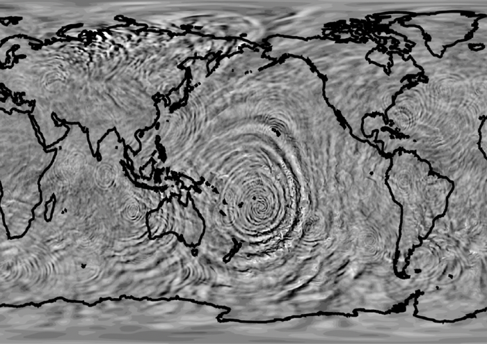
Earth’s weather and topography play a significant role in space weather. Both weather and topography form AGWs, but wave propagation on a global scale is not well understood. The AWE mission will identify AGW “hot spots” and study how AGWs propagate, vary seasonally, and contribute to space weather.

AGWs
Waves occur naturally in our atmosphere when buoyancy pushes air up and gravity pulls it back down. This push and pull of air creates ripple-like waves. AGWs are mainly caused by atmospheric disturbances, such as strong winds flowing over steep mountains, violent thunderstorms, tornadoes, and hurricanes. AGWs travel, break, and transport energy and momentum to other parts of the atmosphere.

Space
Some small-scale AGWs are capable of traveling to the boundary that separates Earth’s atmosphere from space, where the AWE mission will image them. These AGWs may continue propagating upward, impacting and modifying the space weather system. Understanding changes in near-Earth space is key to protecting our space-based resources, as space weather can disrupt communication and navigation systems and impact spacecraft and debris lifetimes in orbit.
Mission Architecture
To characterize AGWs in near-Earth Space, AWE’s Advanced Mesospheric Temperature Mapper (AMTM) will be installed on the International Space Station (ISS). Once in place, the AMTM instrument will capture wide field of view nighttime images at the rate of one image per second for two years. The AMTM will produce high-quality temperature maps of AGWs near the mesopause region using well-characterized infrared emission lines of the hydroxyl (3,1) band, also known as Earth’s OH layer. The AMTM will image these waves, about 55 miles (~87 kilometers) above the ground, before they enter the near-Earth space environment.
Explore the AWE PayloadWhy the ISS?
The ISS provides an ideal combination of altitude, geographic coverage, and local time coverage to accomplish AWE’s science objectives, making it the perfect vantage point to look down on Earth and view gravity waves affecting the upper atmosphere.

Mission Timeline
In 2015, the Space Dynamics Laboratory (SDL) and Utah State University (USU) developed an optical design for the ISS-compatible version of the AMTM instrument. The AWE mission concept was then formulated and proposed in response to NASA’s 2016 Heliophysics Explorer Mission of Opportunity. NASA selected AWE following a rigorous selection process, with development beginning in 2019.